
價格:免費
更新日期:2019-06-15
檔案大小:64.8 MB
目前版本:6.0
版本需求:需要 iOS 9.0 或以上版本。與 iPhone、iPad 及 iPod touch 相容。
支援語言:丹麥文, 巴克摩文挪威文, 德語, 法文, 瑞典文, 芬蘭文, 英語, 荷蘭文, 西班牙文
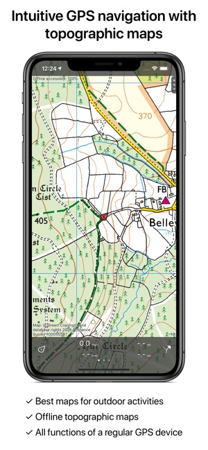
Makes from your iPhone/iPad a complete GPS device with detailed topographic maps. Viewed maps will be stored on your device so that Topo GPS can also be used offline.
Why should you buy an expensive GPS device if you can install Topo GPS? Topo GPS contains all functions of a regular GPS device for less money, has a much more detailed map, and is more convenient to operate. The accuracy of the position determination is in favorable conditions about 5 m.
Ideal for walking, hiking, cycling, mountain biking, sailing, horse-riding, geocaching, scouting, trail running and other outdoor activities. Also suited for outdoor professionals.
- Map
* To use Topo GPS you need to buy a map.
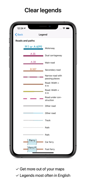
* Official topographic maps of many countries, including Great Britain (OS Explorer), New Zealand and Australia are available as in-app purchase.
* Topographic maps are very detailed maps, include height contours and are very suited for outdoor activities.
* All maps of a certain region can be made offline accessible using the map download screen.
* Easy switching between maps.
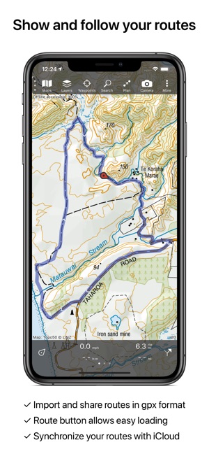
- Routes
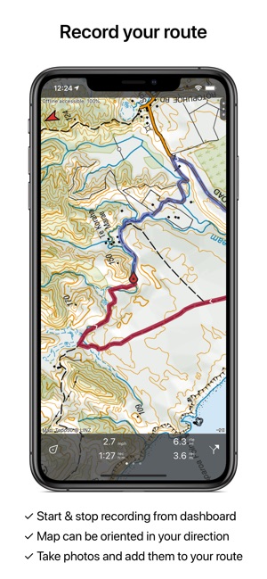
* Recording routes, with pause and restart possibility.
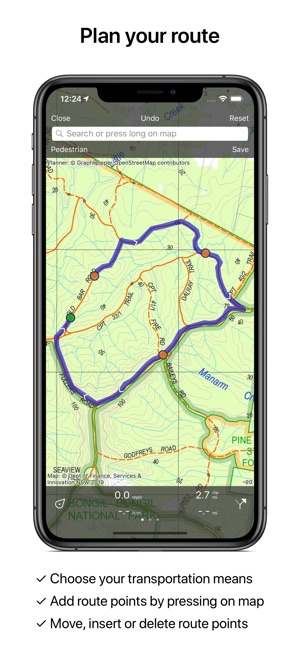
* Planning routes via route points.
* Editing routes
* Synchronization with your other devices via iCloud.
* Searching routes with filters.
* Routes can be organized into folders.
- Waypoints
* Easy adding by pressing long on map.
* Adding waypoints through address or coordinates.
* Sharing waypoints.
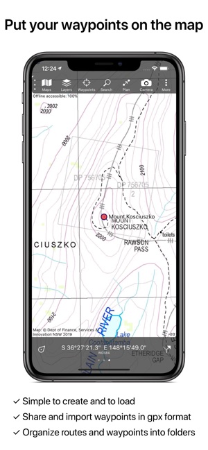
* Editing waypoints.
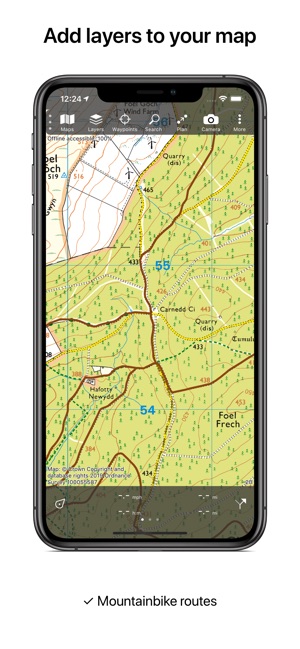
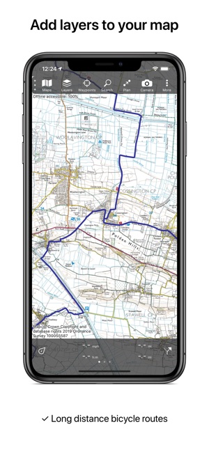
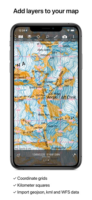
- Layers
Layers contain information that can be added to and removed from the map.
* Long distance bicycle routes
* Mountainbike routes
* Coordinate grids
* Imported kml, geojson and WFS data
- Intuitive interface
* Clear menu with most important functions.
* Different dashboard panels with distance, time, speed, altitude and coordinates.
* Clear manual at www.topo-gps.com
- Supported file formats:
* Import: gpx, kml, geojson (all also zip compressed), WFS
* Export: gpx (also zip compressed)
- Supported coordinate systems:
WGS84 decimal, WGS84 degree minutes (seconds), UTM, MGRS, Ordnance Survey National Grid, NZTM, GDA94, and others.
If you are recording a route, the GPS will run in the background. Continued use of GPS running in the background can dramatically decrease battery life.
Rdzl, the company behind Topo GPS, does not obtain in any way the position of the user of Topo GPS. Rdzl does also not obtain the routes recorded by the user, and save the routes planned by the user, unless the route is shared with Topo GPS. We sell our product, not our user data.
支援平台:iPhone, iPad